Southern Bay of Biscay Modeling Project
Course OPB205 - 3D Ocean Modeling
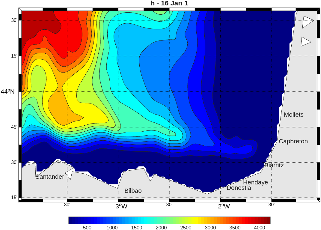
Bathymetry of my model (Bay of Biscay)
Simulation Results Analysis
This project, carried out as part of the OPB205 (3D Ocean Modeling) course within the Marine Sciences Master's program at Aix-Marseille University (OSU Pythéas, MIO), primarily serves an educational purpose. It aims at mastering the complete simulation workflow, from preprocessing to the configuration of a regional hydrodynamic model (defining the spatial grid with make_grid, managing open boundaries with make_clim, and handling initial conditions with make_ini).
Using the CROCO (Coastal and Regional Ocean Community model) numerical model configured at a high resolution of 1/40° (i.e., dx = 2 km), this study explores seasonal dynamics and mesoscale structures in the southern Bay of Biscay. This area is highly interesting due to the topographic incision of the Capbreton canyon and the geometry formed by the Cantabrian and Landes shelves.
The study first consisted in confronting the simulations with reference scientific papers identified during the literature review, in order to verify whether the model reproduced physical structures consistent with historical observations. The project is thus structured around three major validation axes:
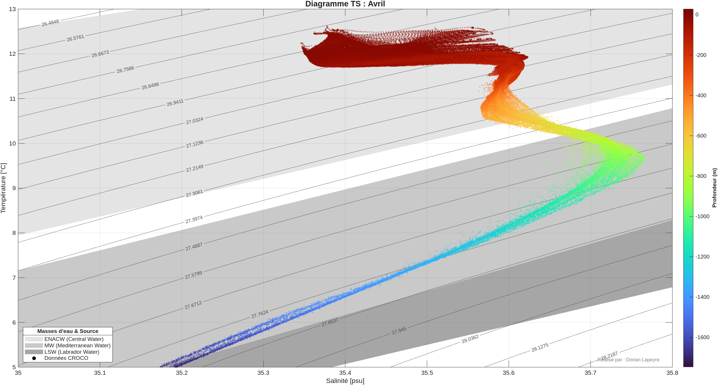
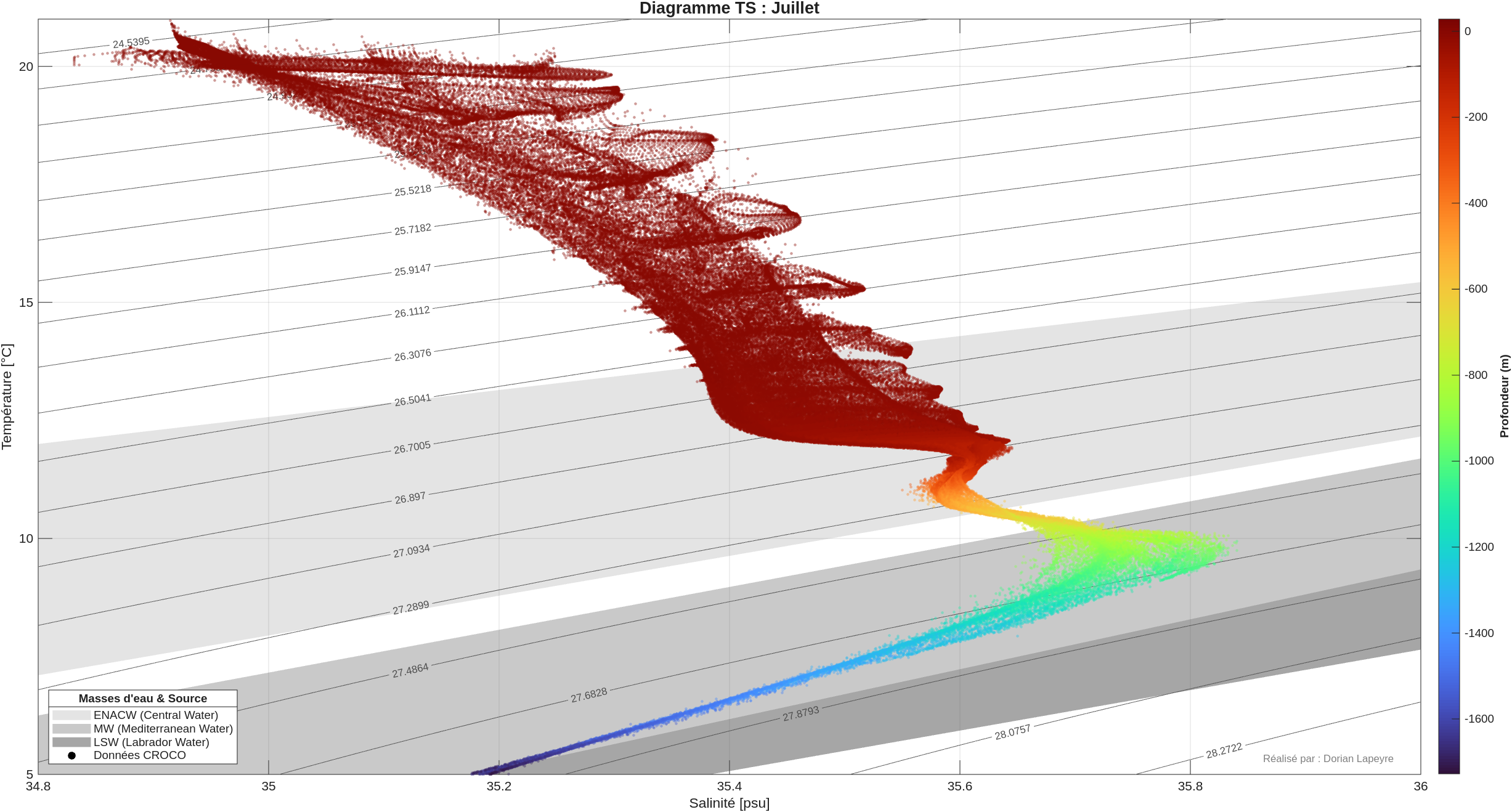
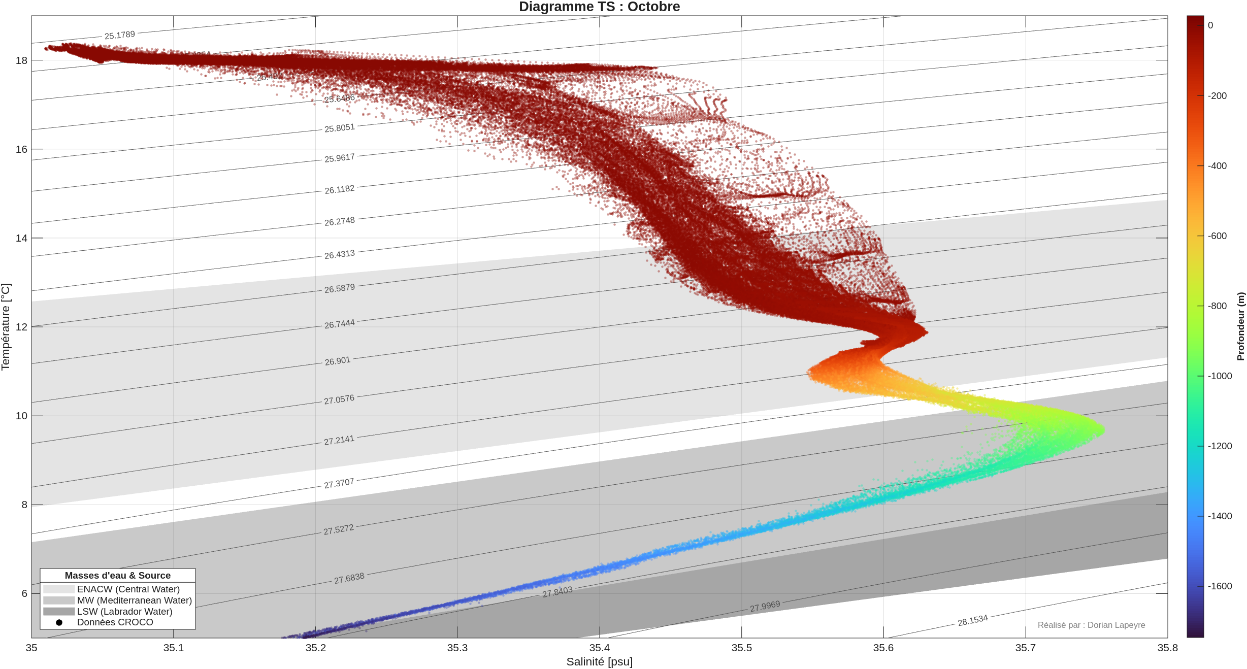
- Hydrological validation and water masses: Comparison of Temperature-Salinity (T-S) diagrams extracted from the model with reference data from Friocourt et al. (2007). The model demonstrates its consistency by faithfully reproducing the signature of the Eastern North Atlantic Central Water (ENACW), the salinity peak of the Mediterranean Water (MW), and the early stages of the Labrador Sea Water (LSW).
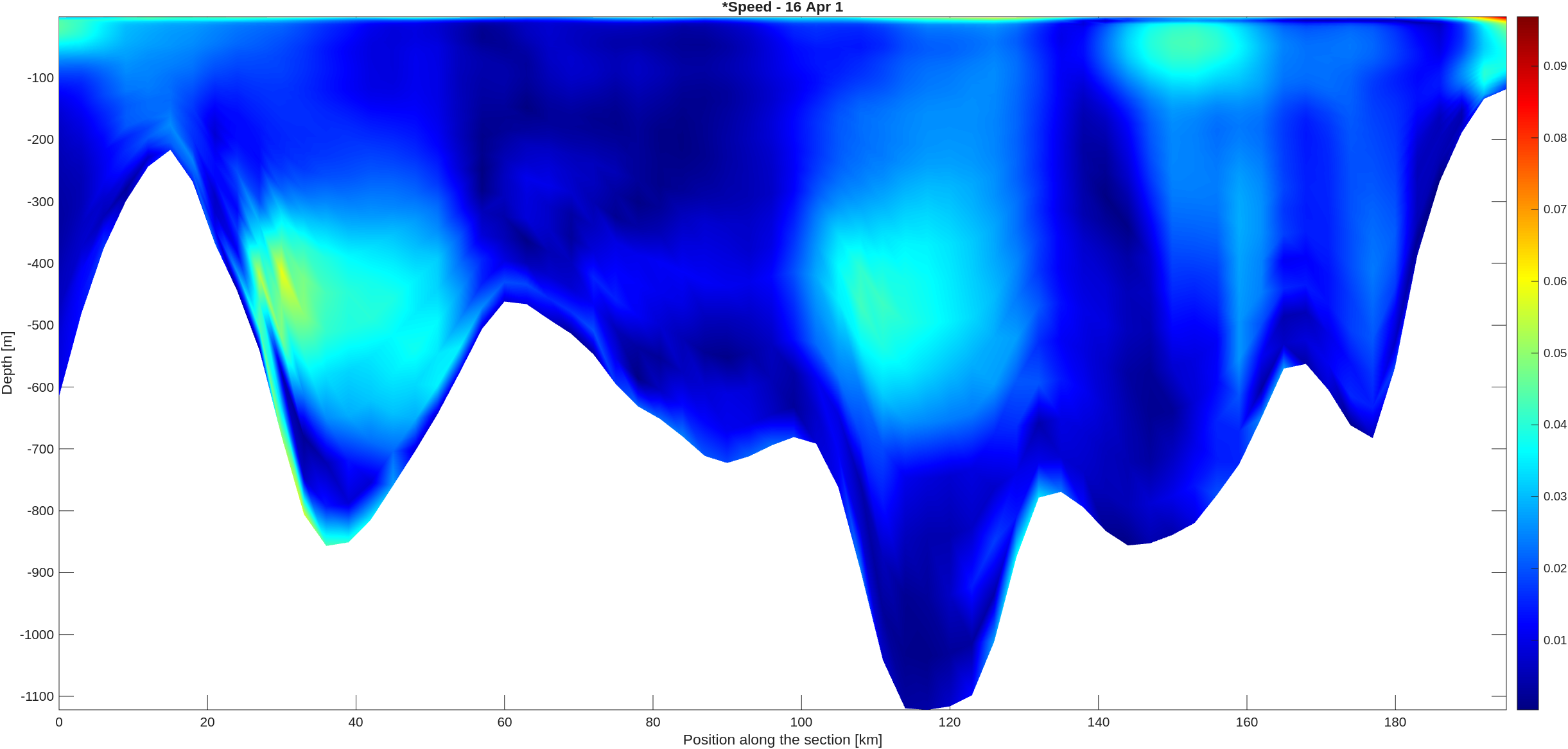
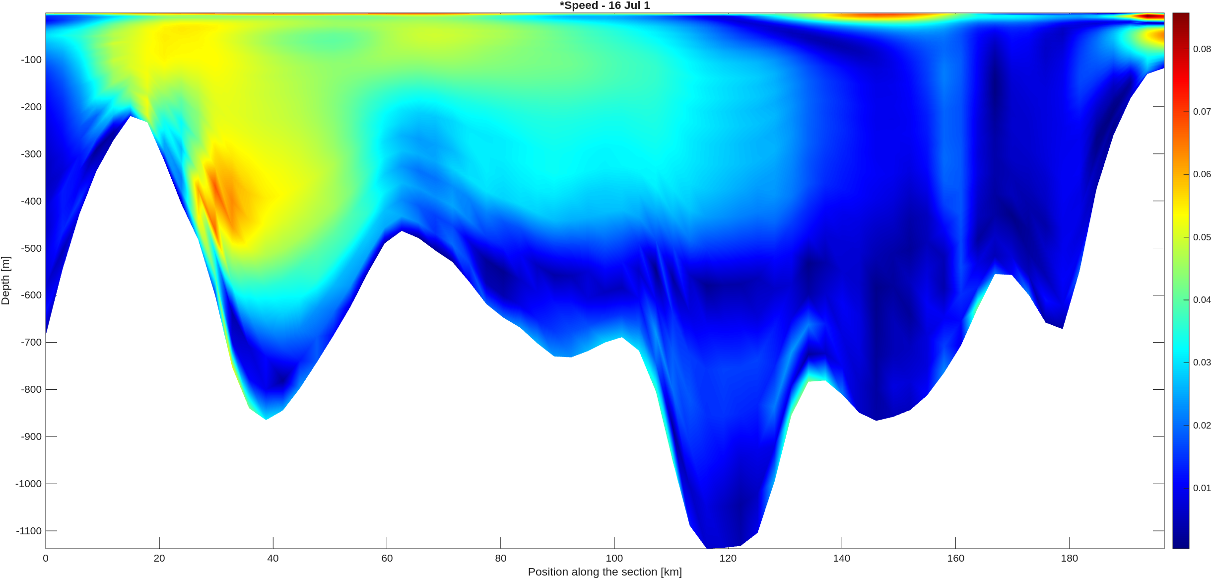
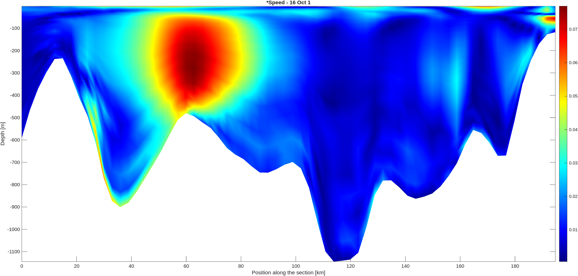
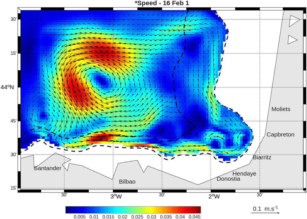
- Seasonal dynamics of the IPC: Analysis of the behavior of the Iberian Poleward Current (IPC). In agreement with the literature (notably Pingree and Le Cann), the model successfully simulates an intense current vein trapped along the continental slope in winter, and captures its weakening as well as its reversal at the surface during the summer period under the influence of North/North-Easterly winds.
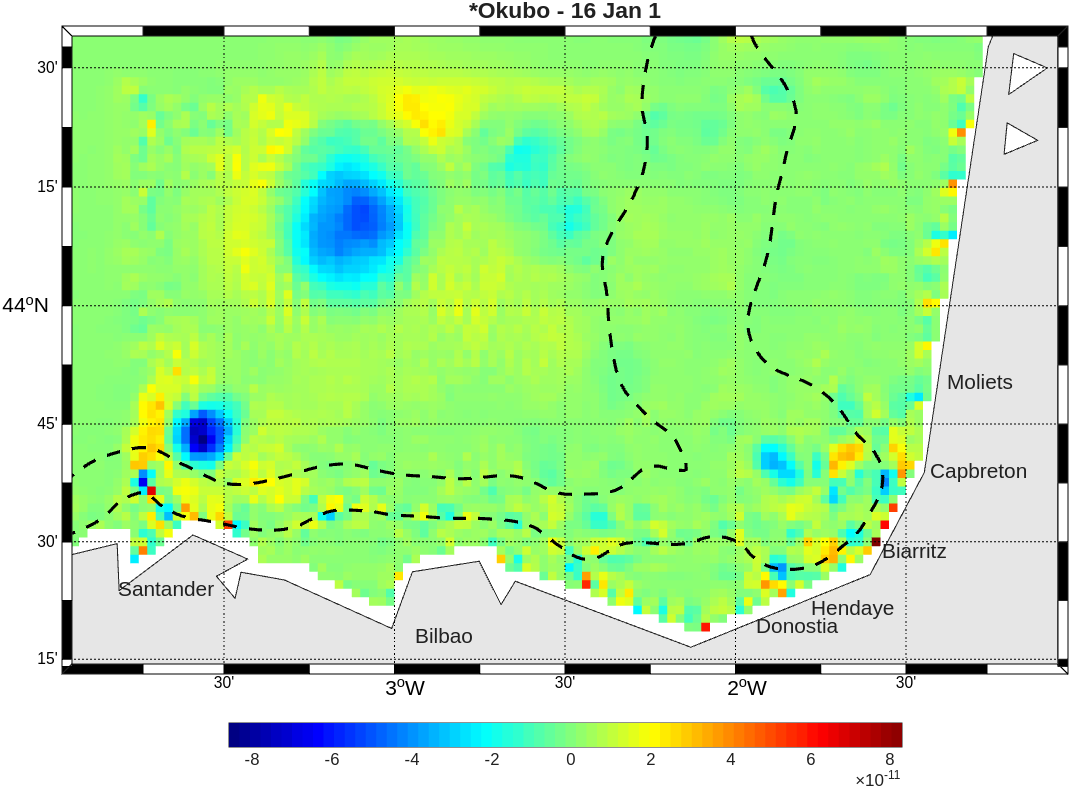
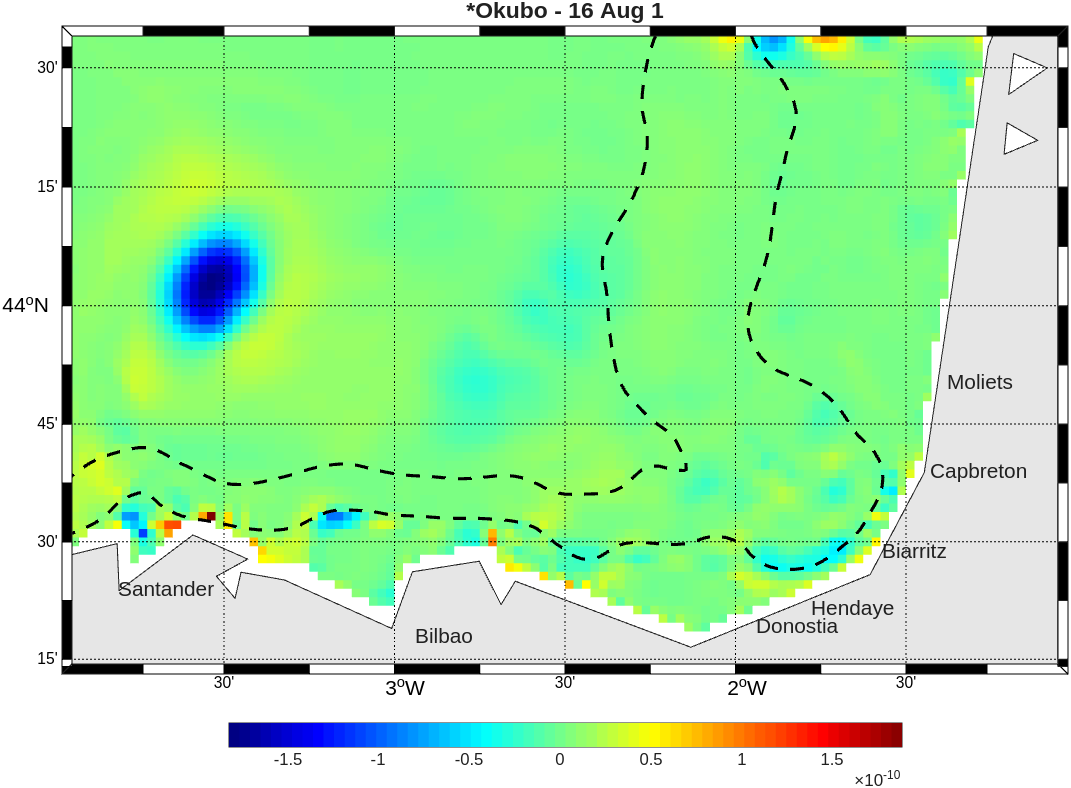
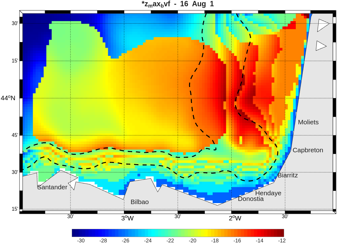
- Mesoscale characterization: Direct confrontation of surface current maps with HF radar observations from Solabarrieta et al. (2014). The use of the Okubo-Weiss diagnostic parameter confirmed the consistency of the model by identifying the destabilization of the slope current in summer and the generation of subsurface anticyclonic eddies (SWODDIES).
Project Gallery
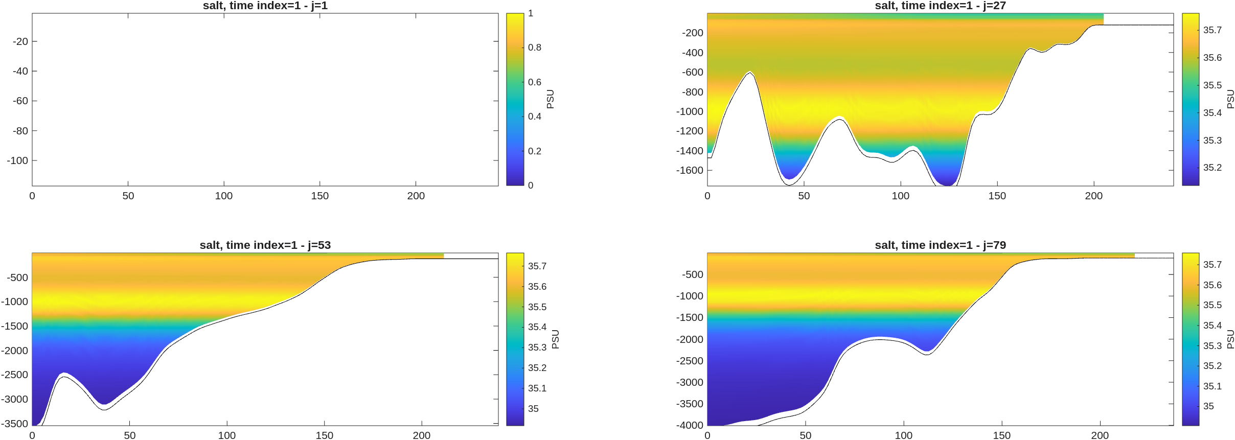
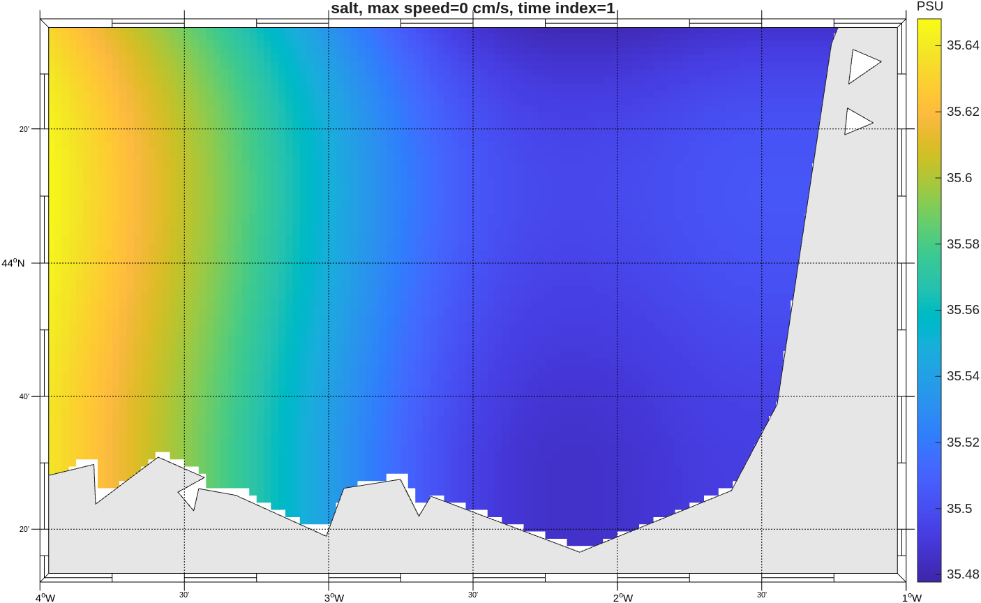
Pré-processing : make_ini
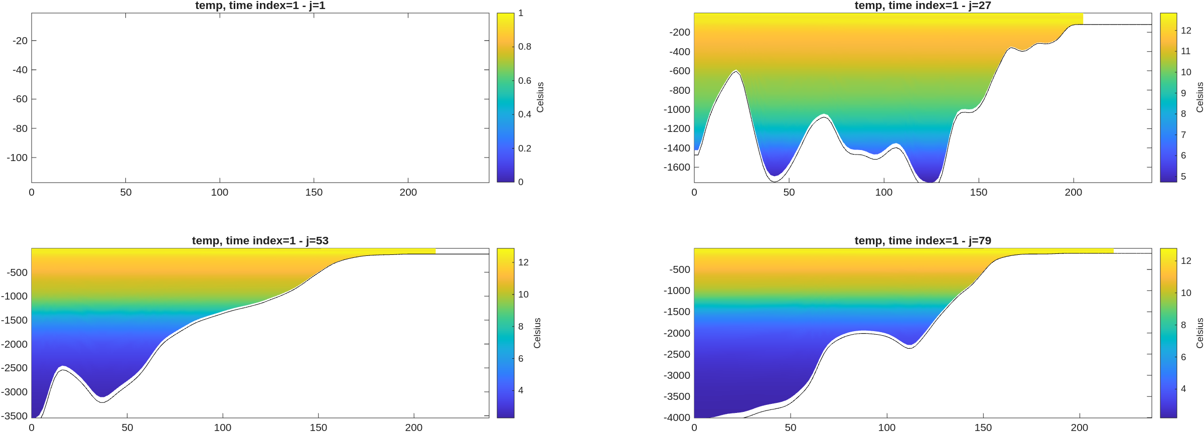
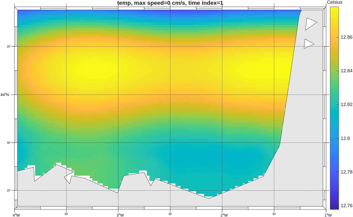
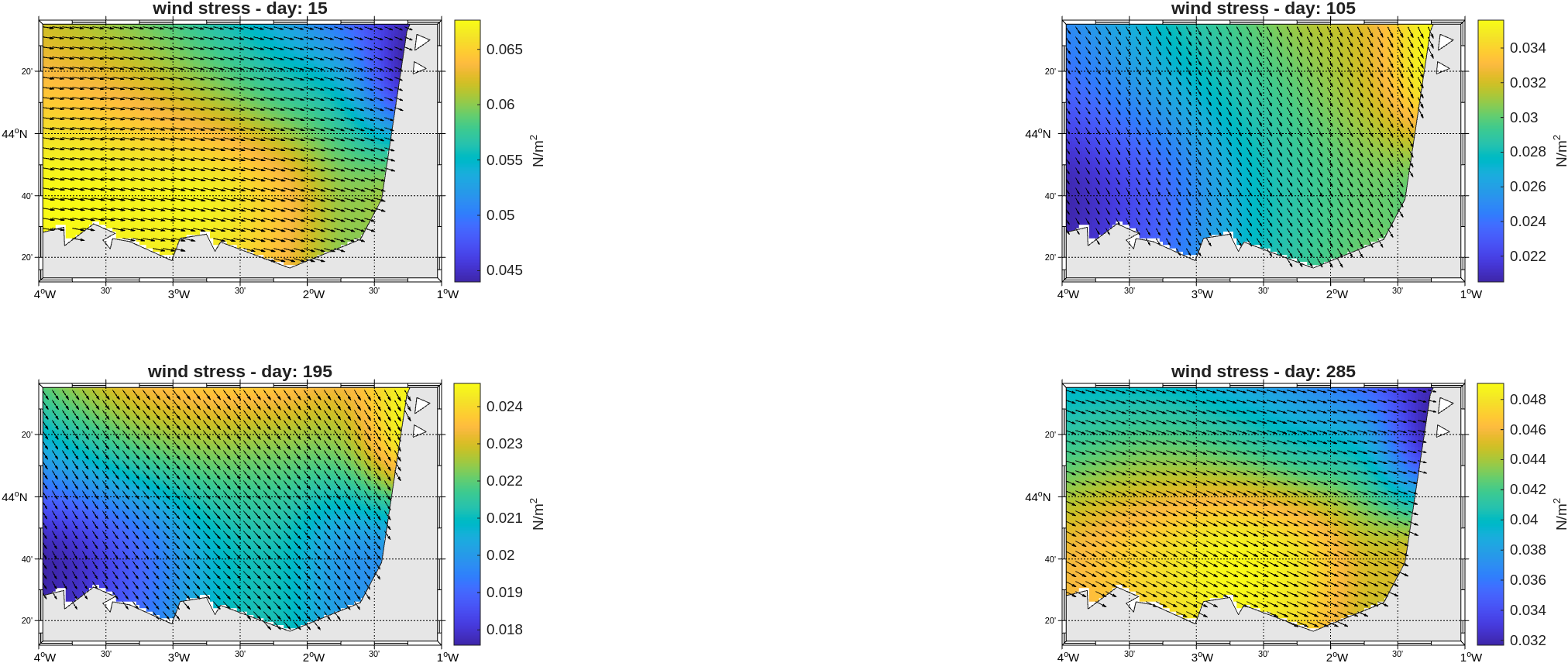
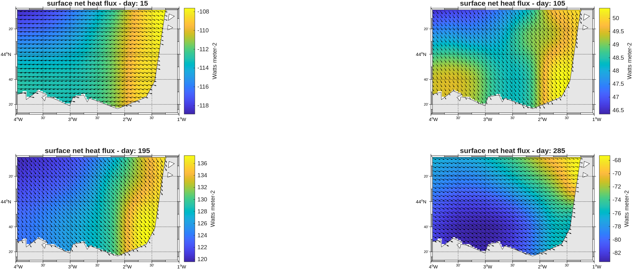
Pré-processing : make_forcing
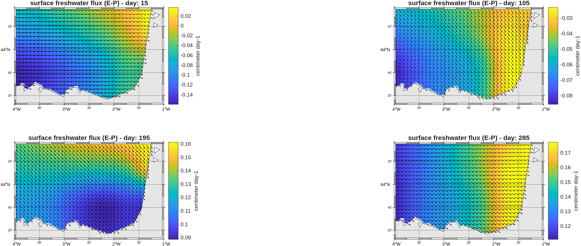
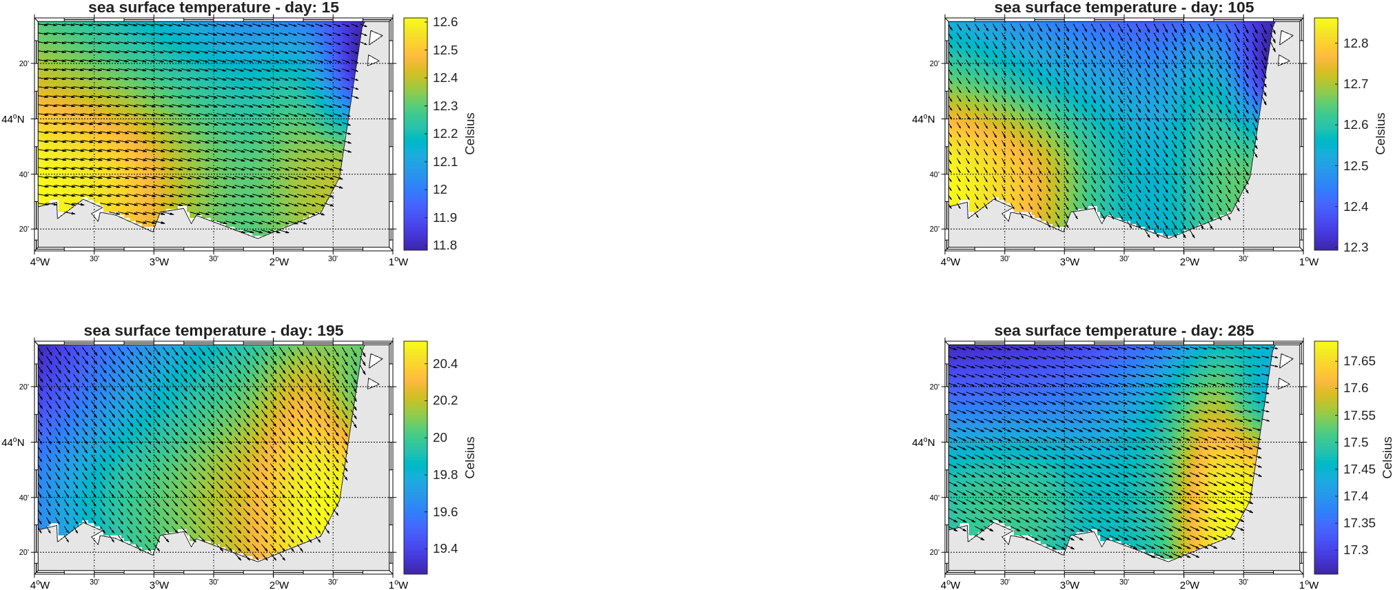
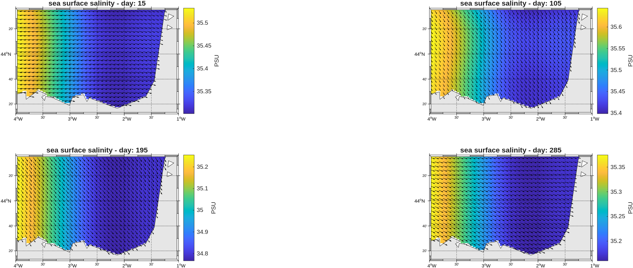
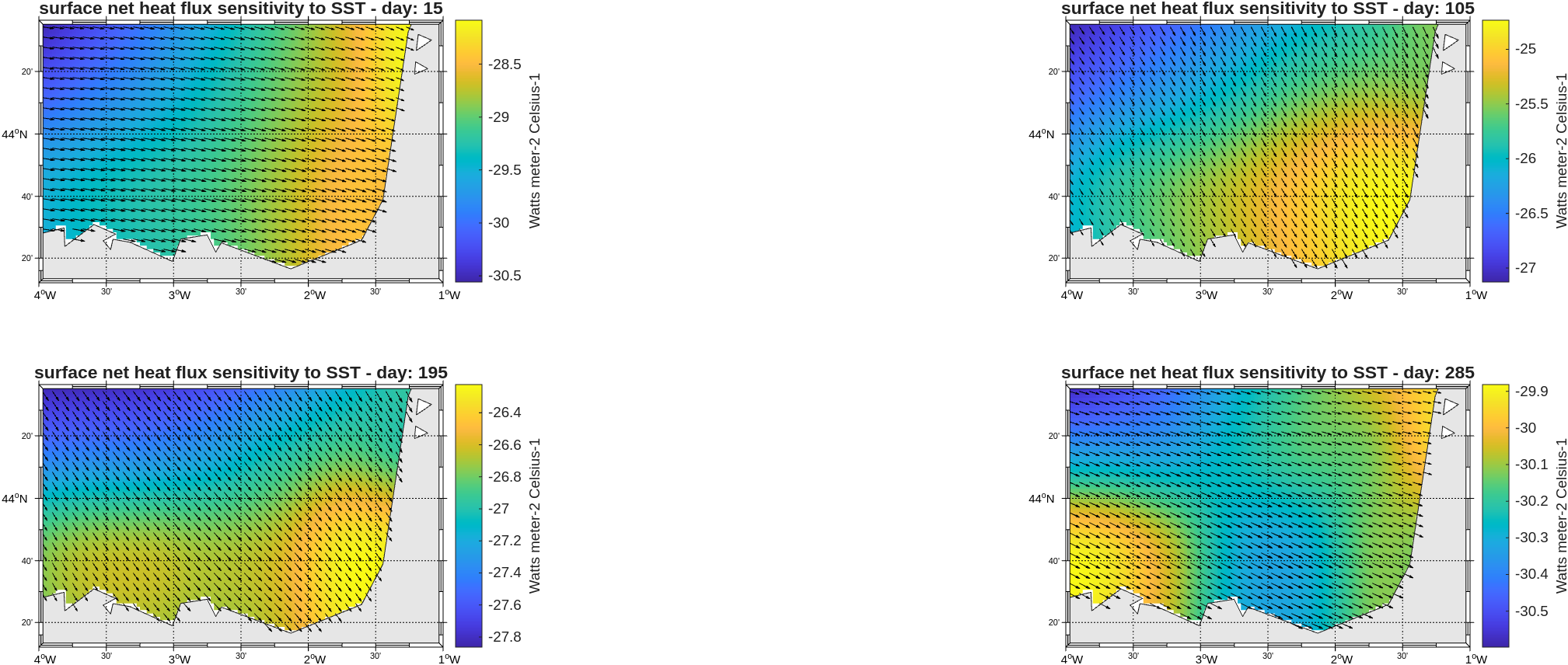
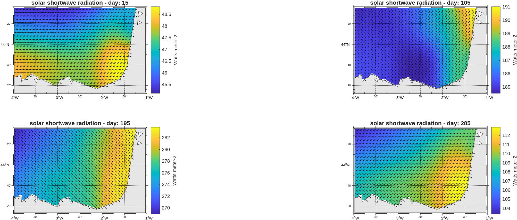
Pré-processing : make_clim
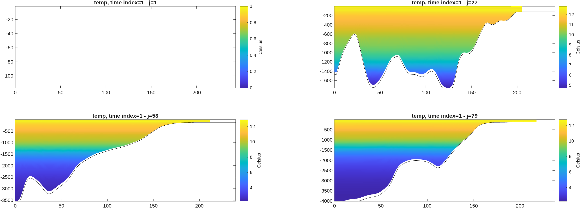
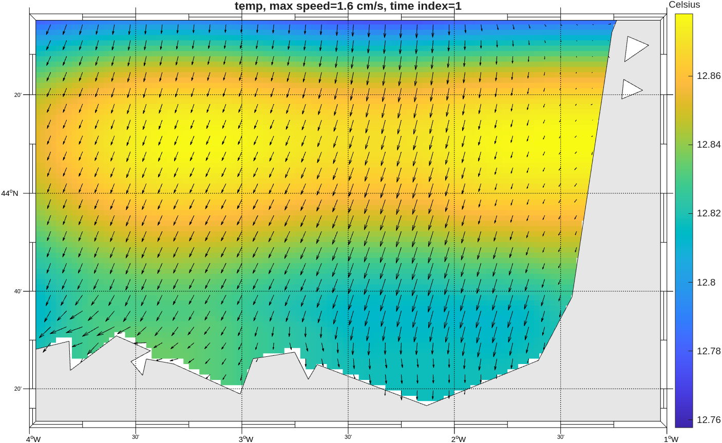
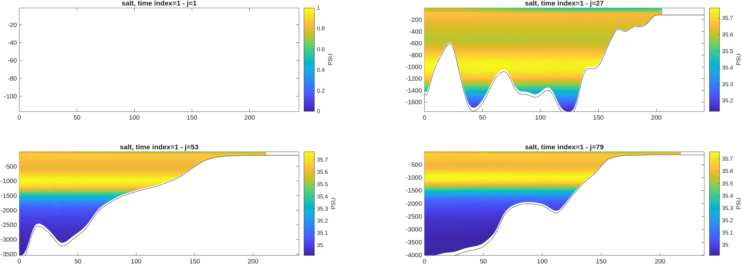
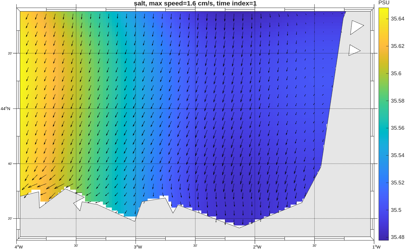
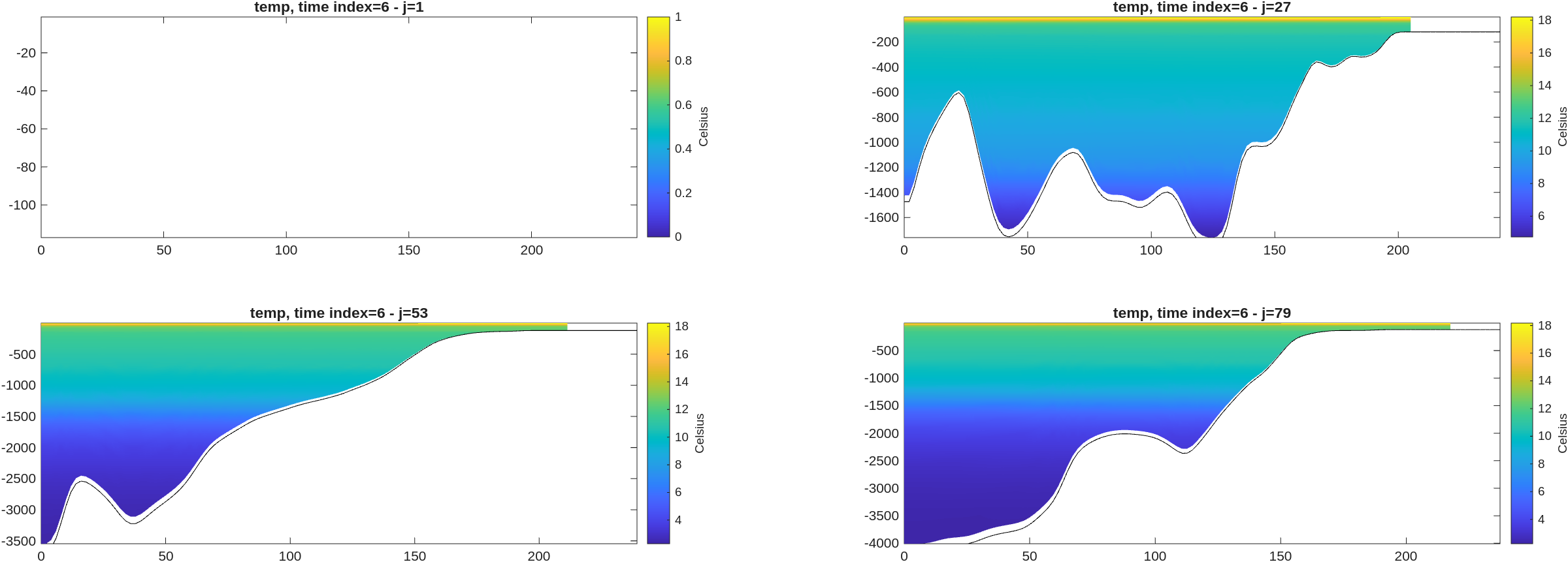
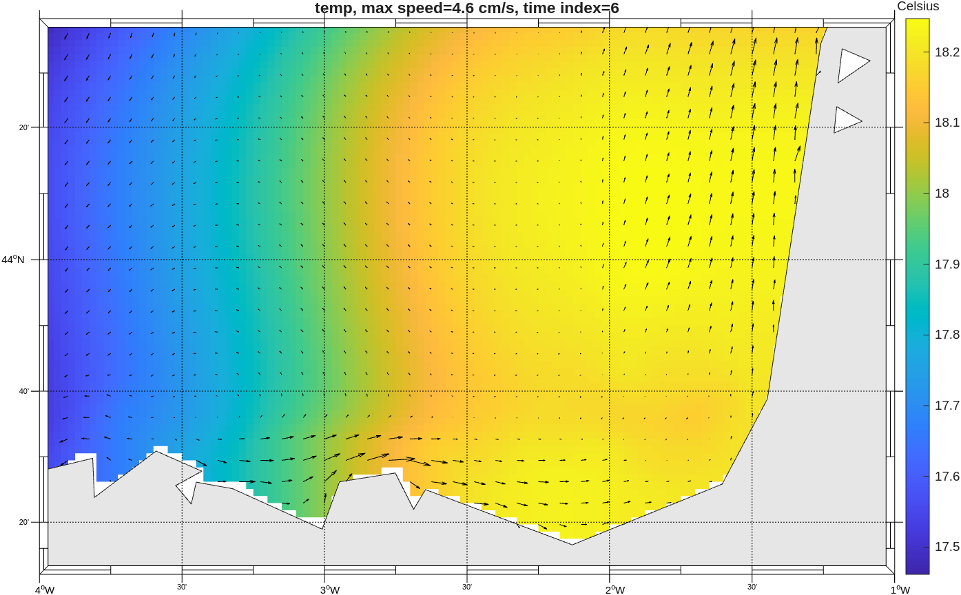
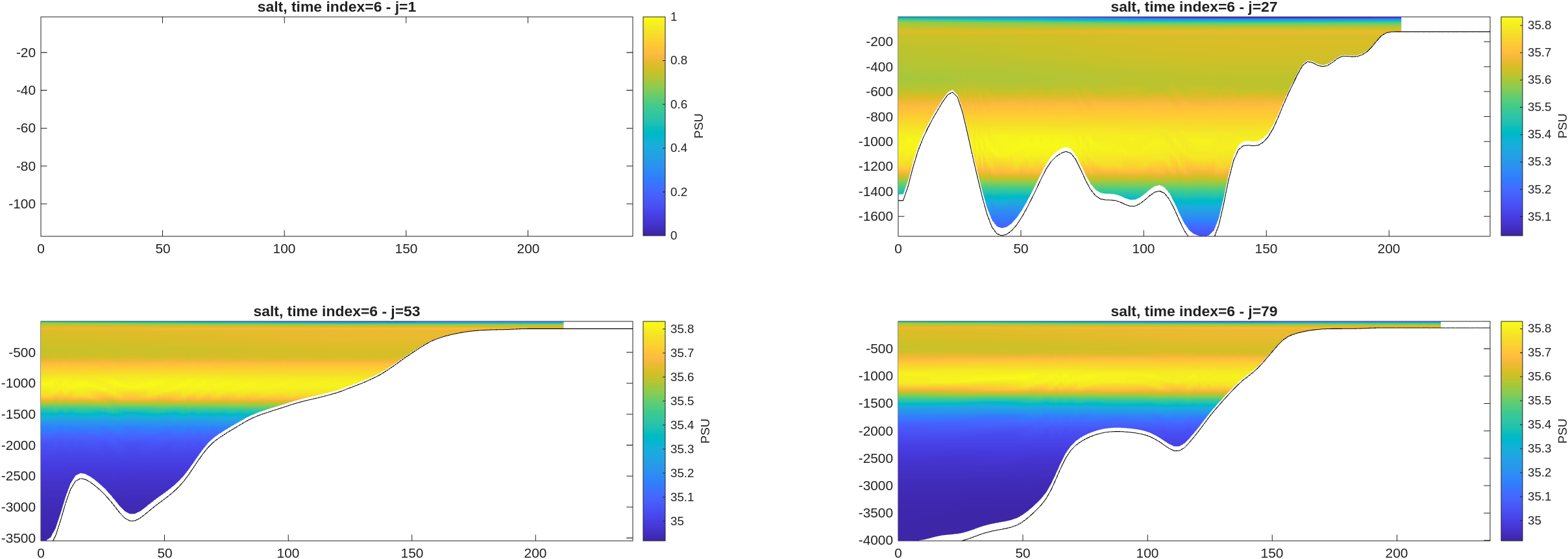
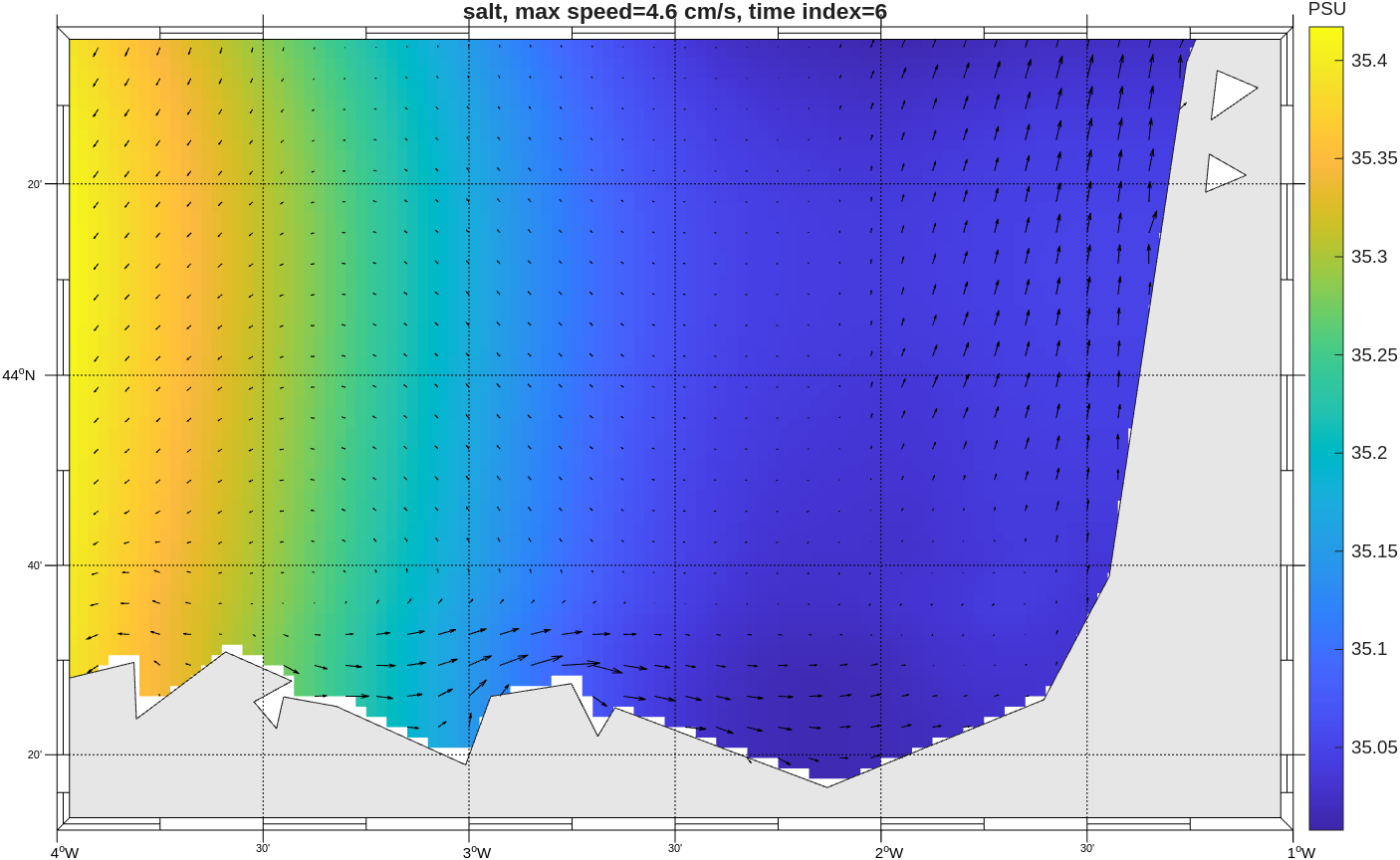
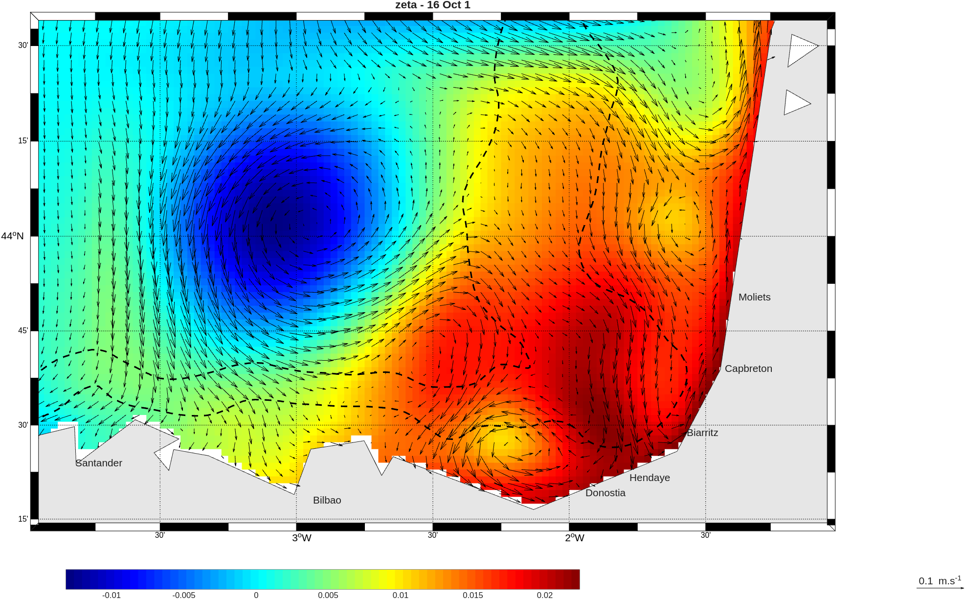
Analysis : zeta
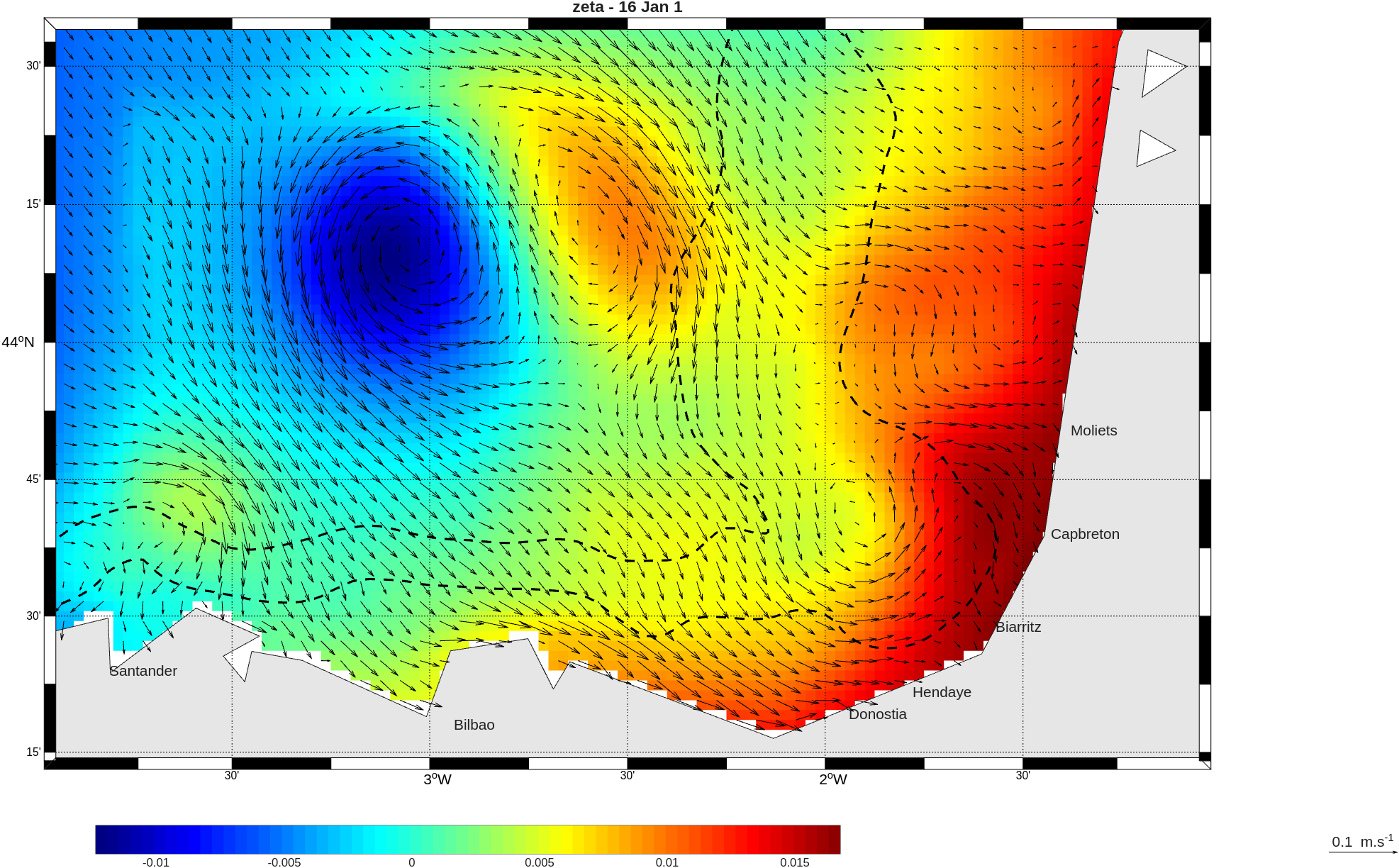
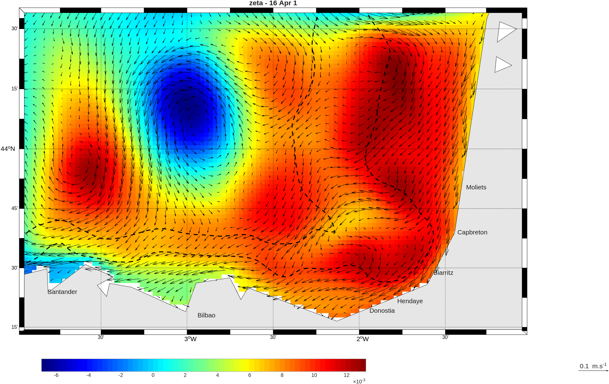
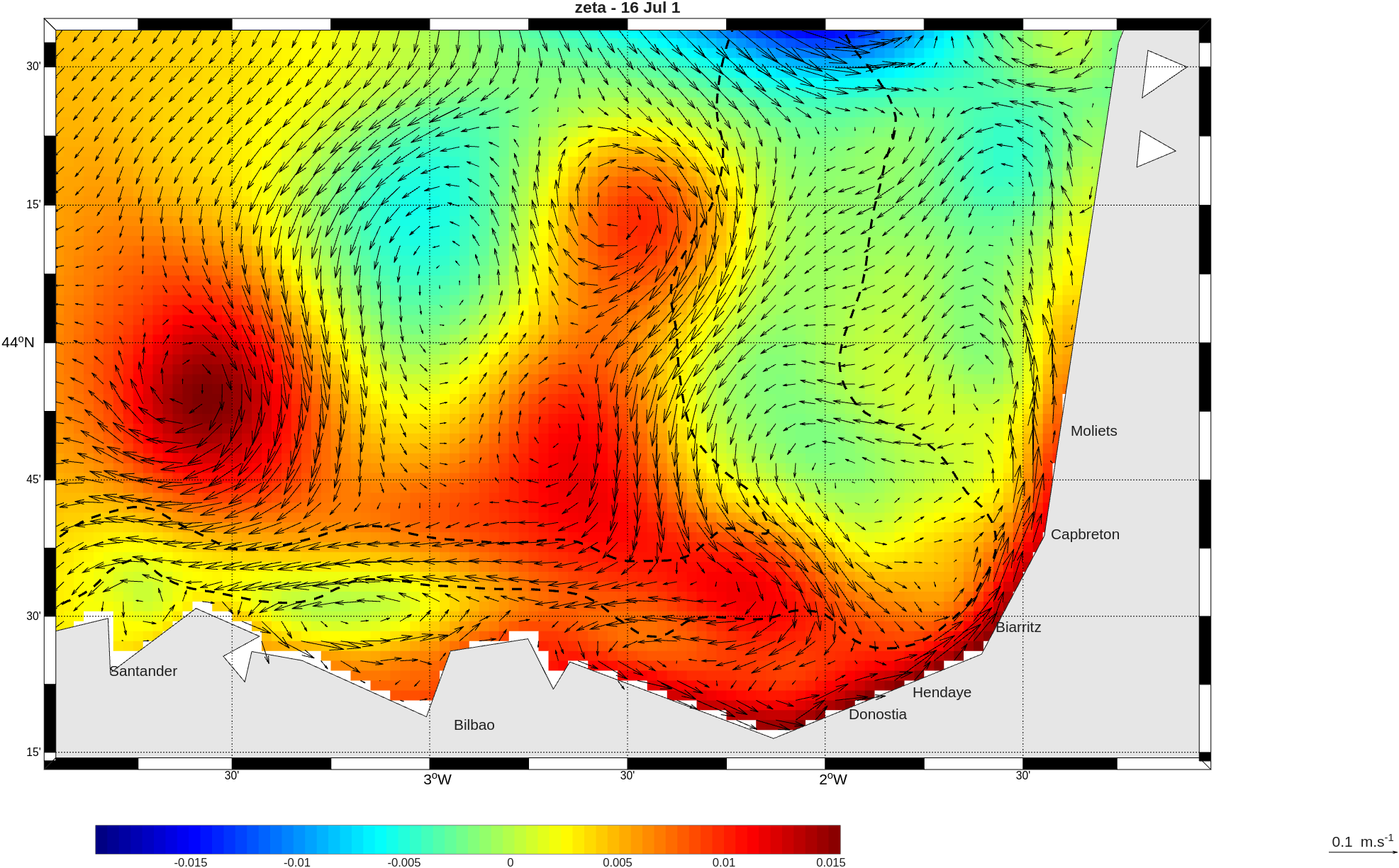
Analysis : SST
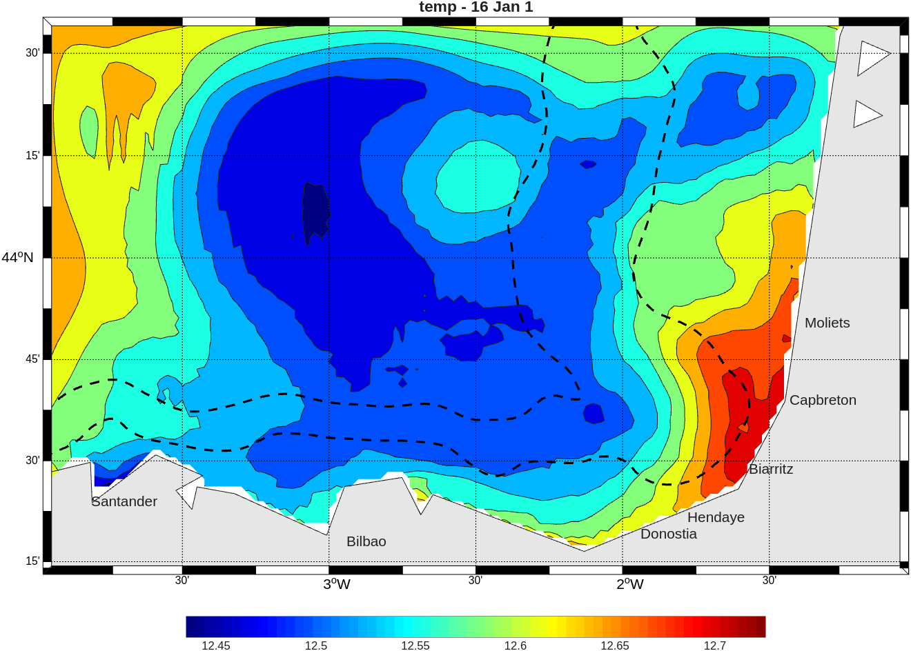
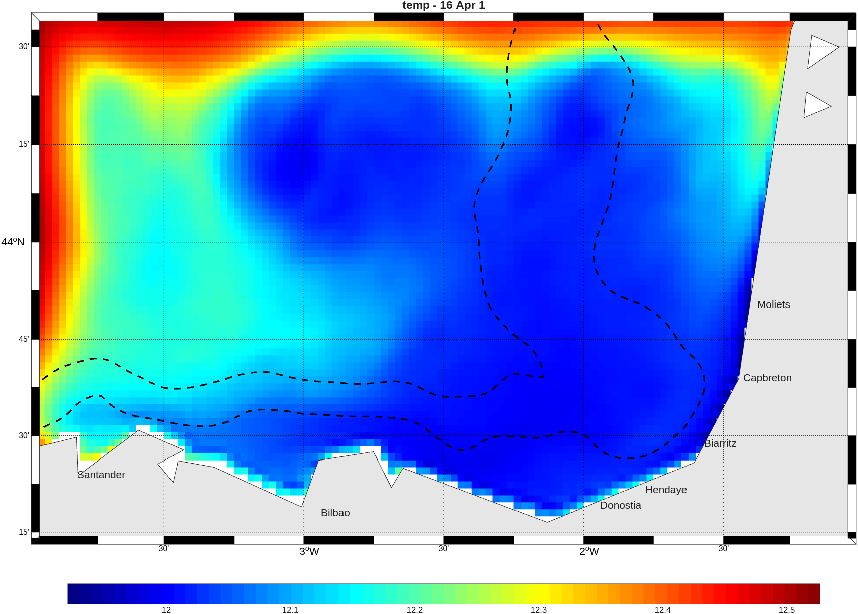
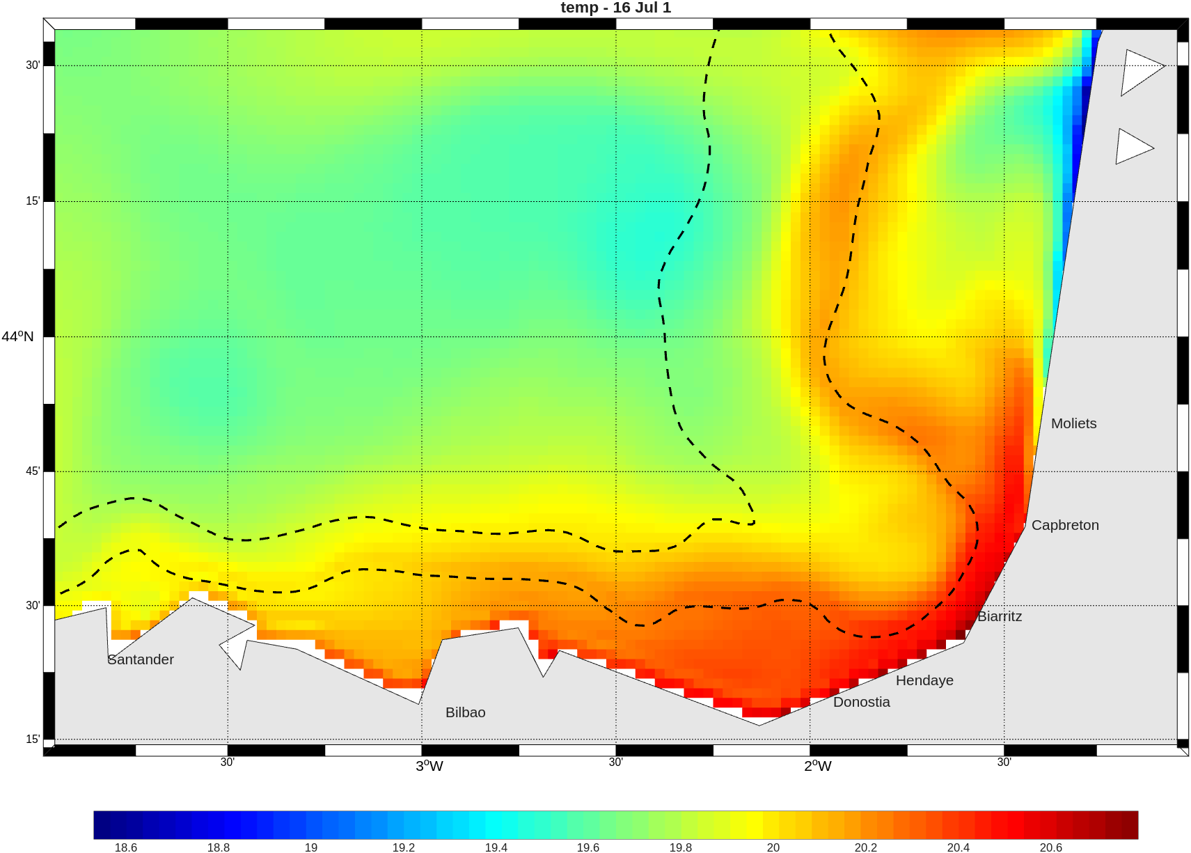
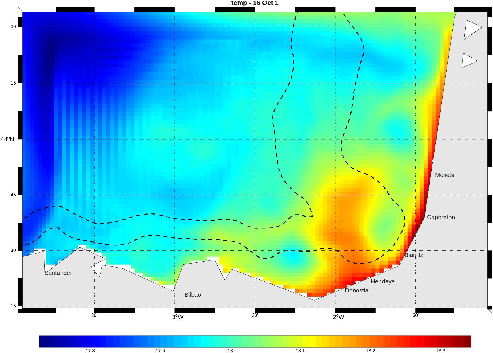
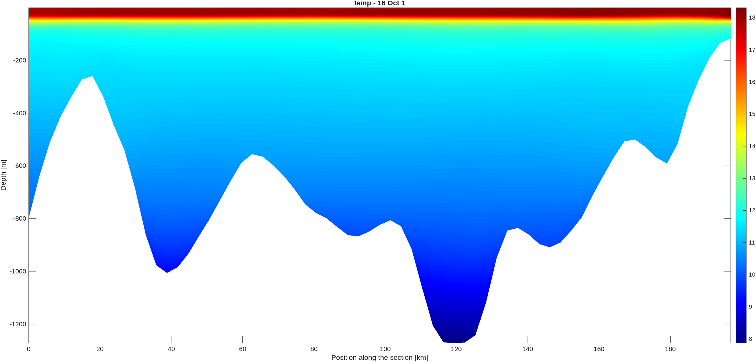
Analysis : Temperature profile
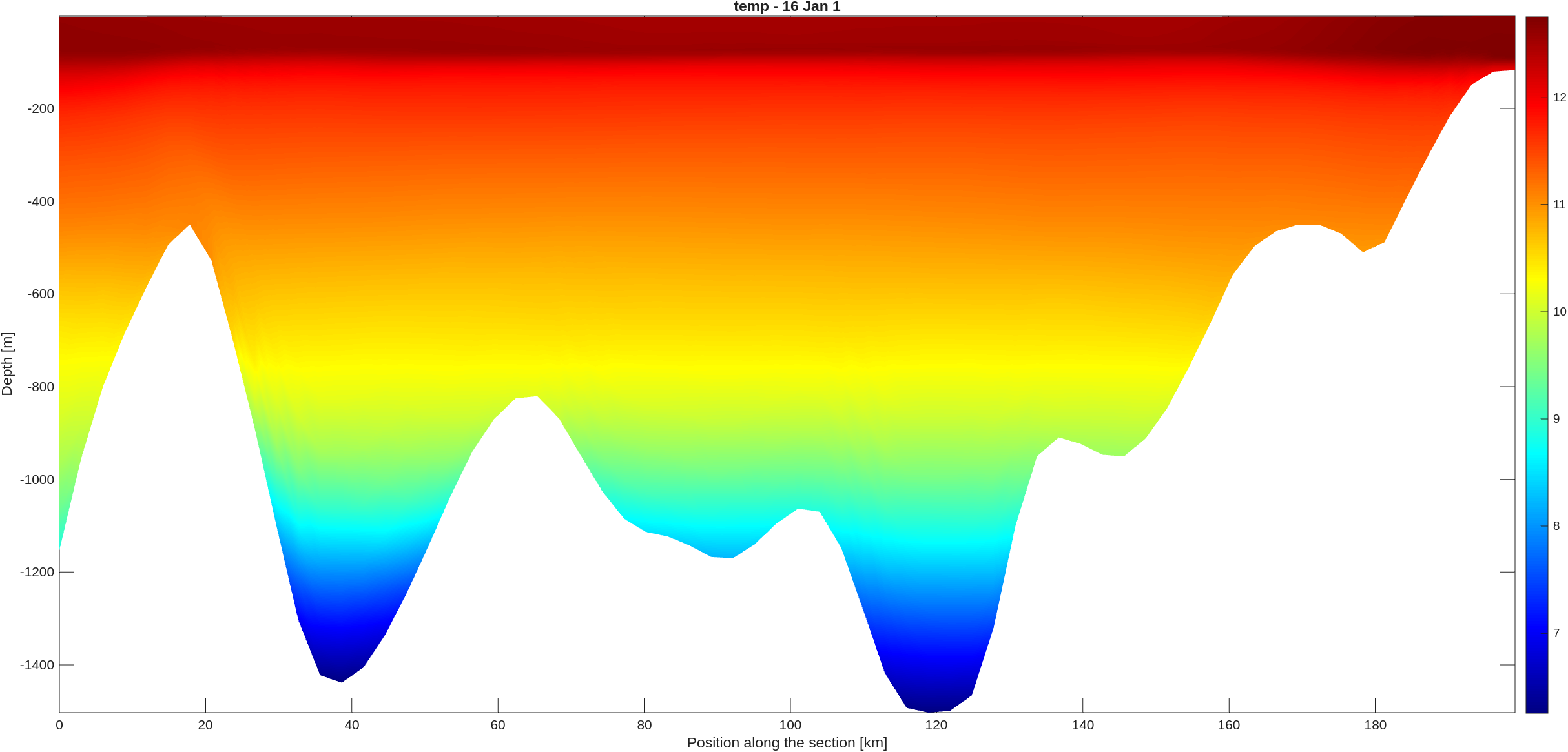
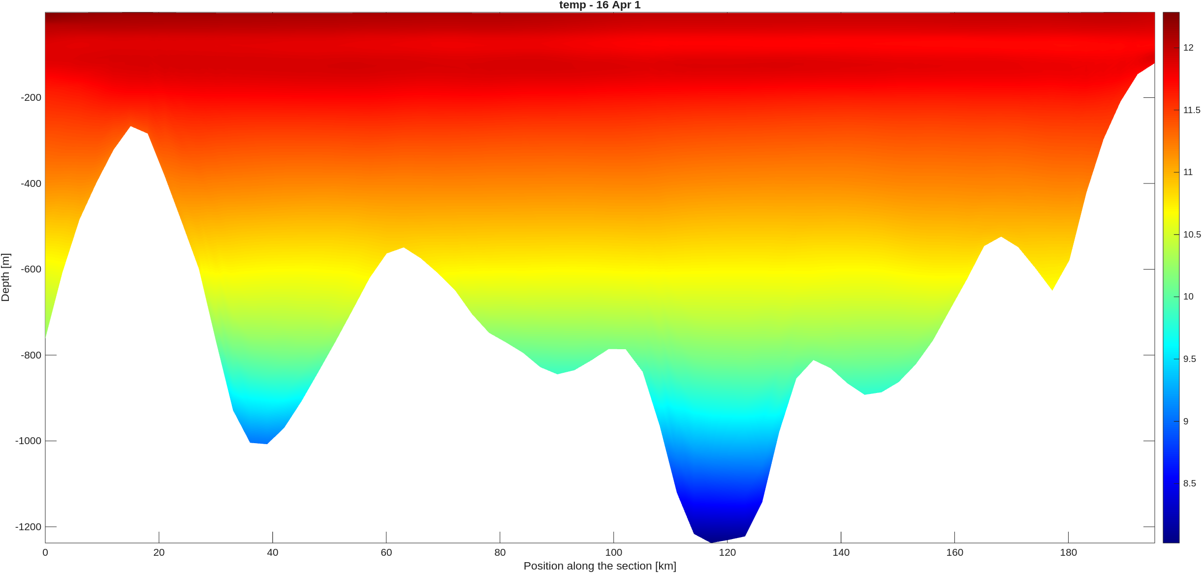
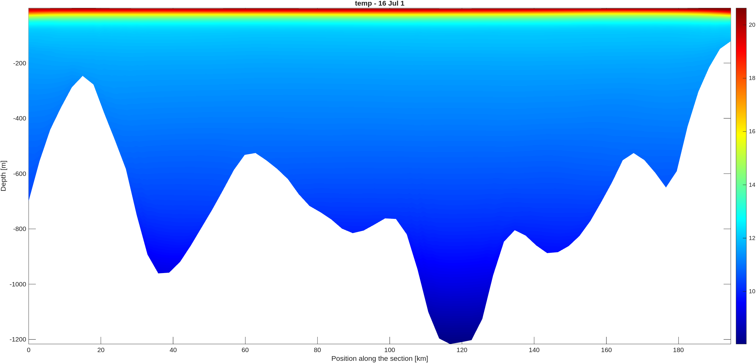
Analysis : Surface current
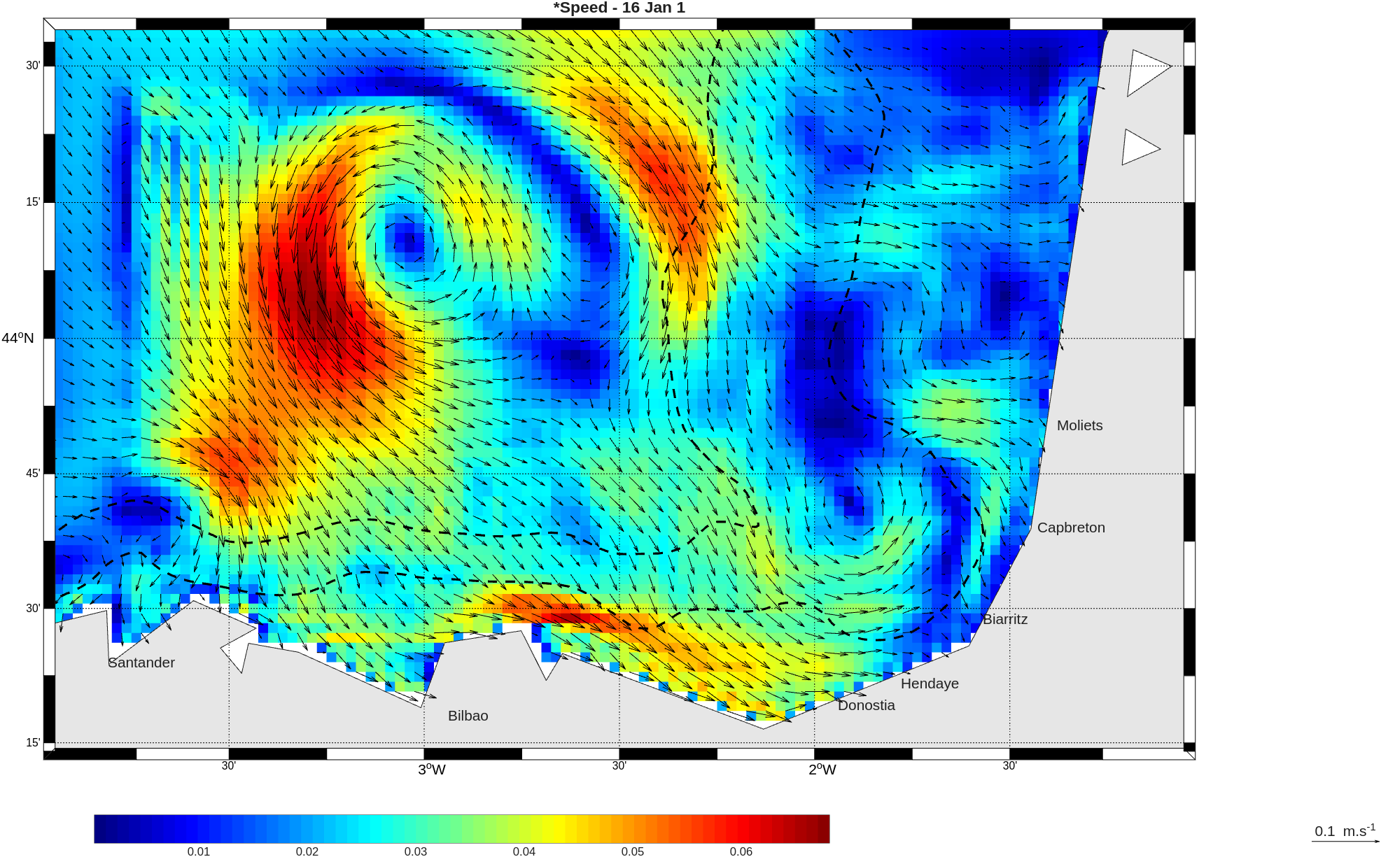
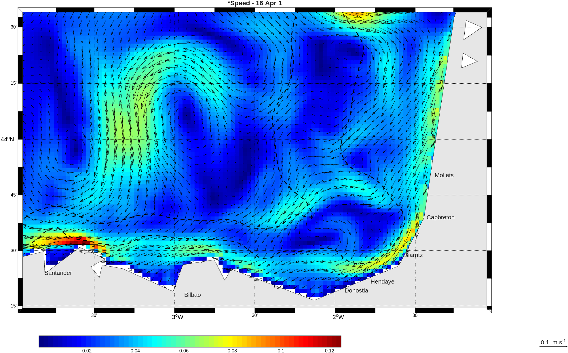
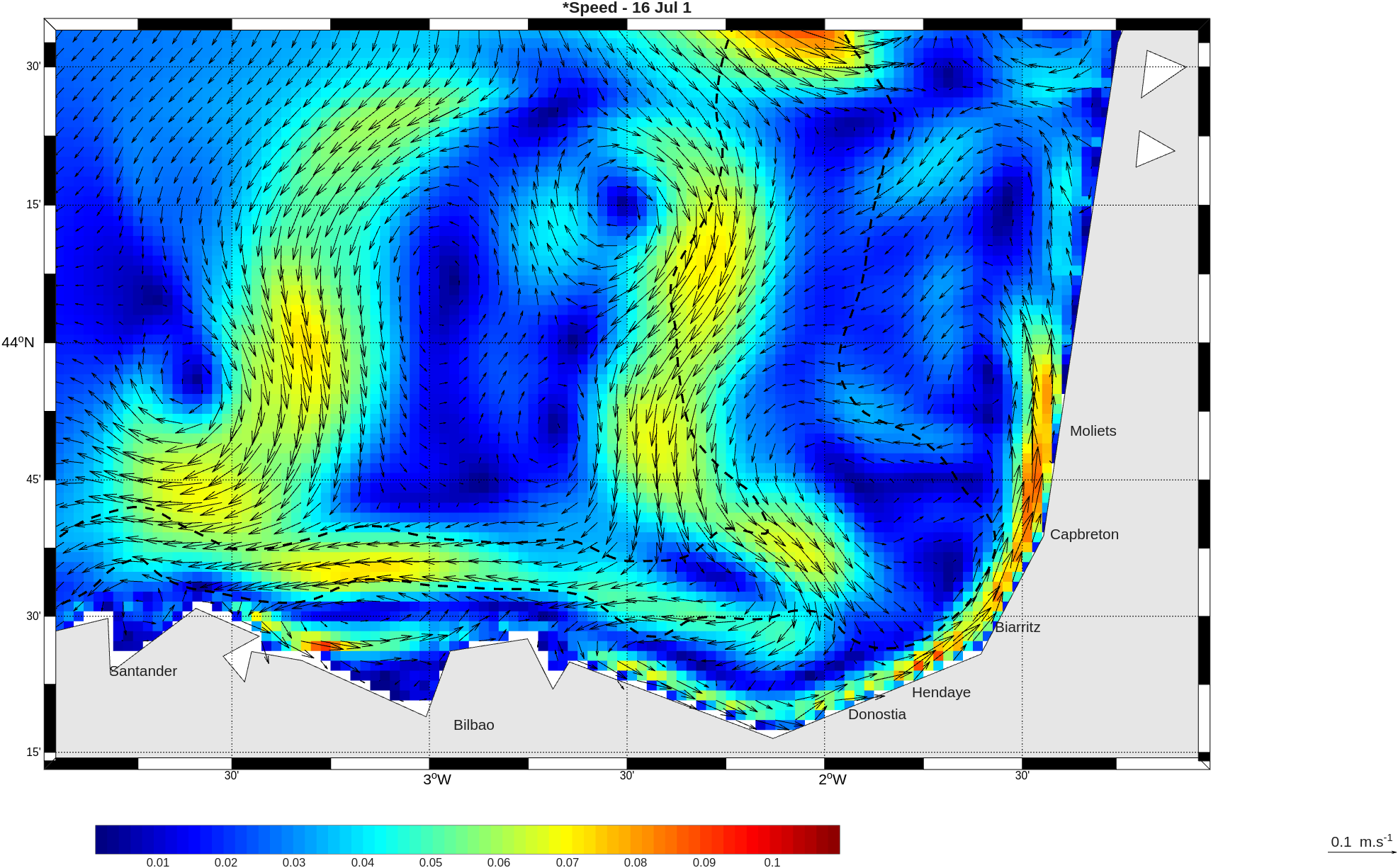
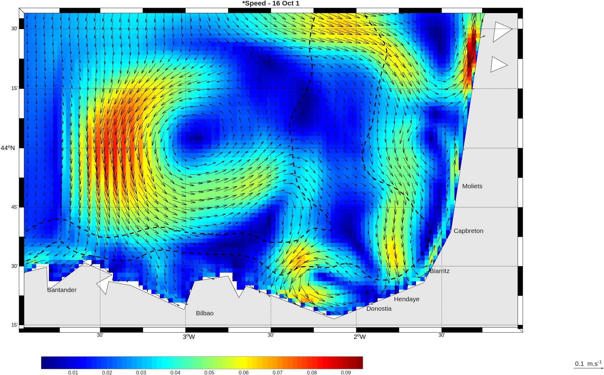
Analysis : velocity
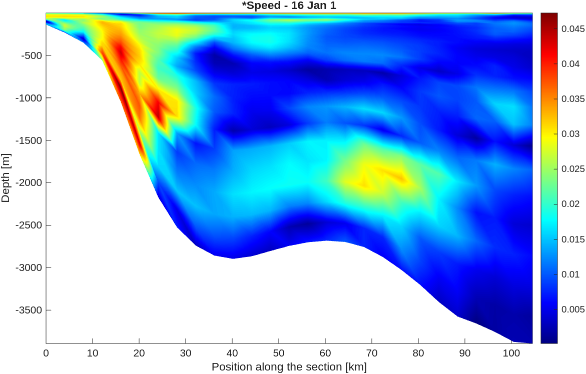
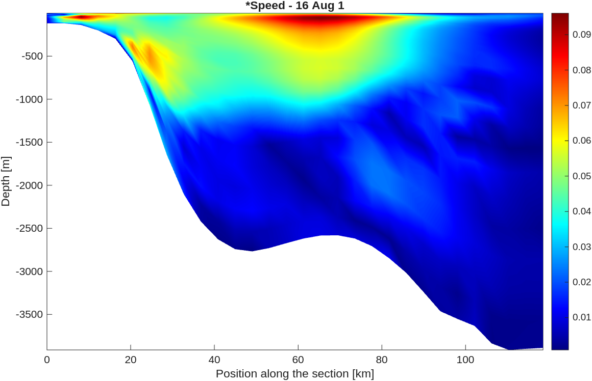
Analysis : Current profile
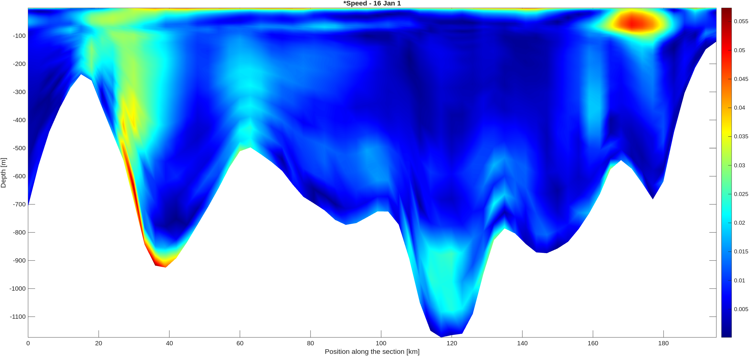
Analysis : TS Diagram
Analysis : IPC (Iberian Poleward Current)
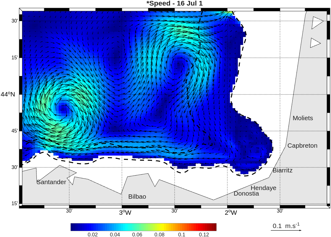
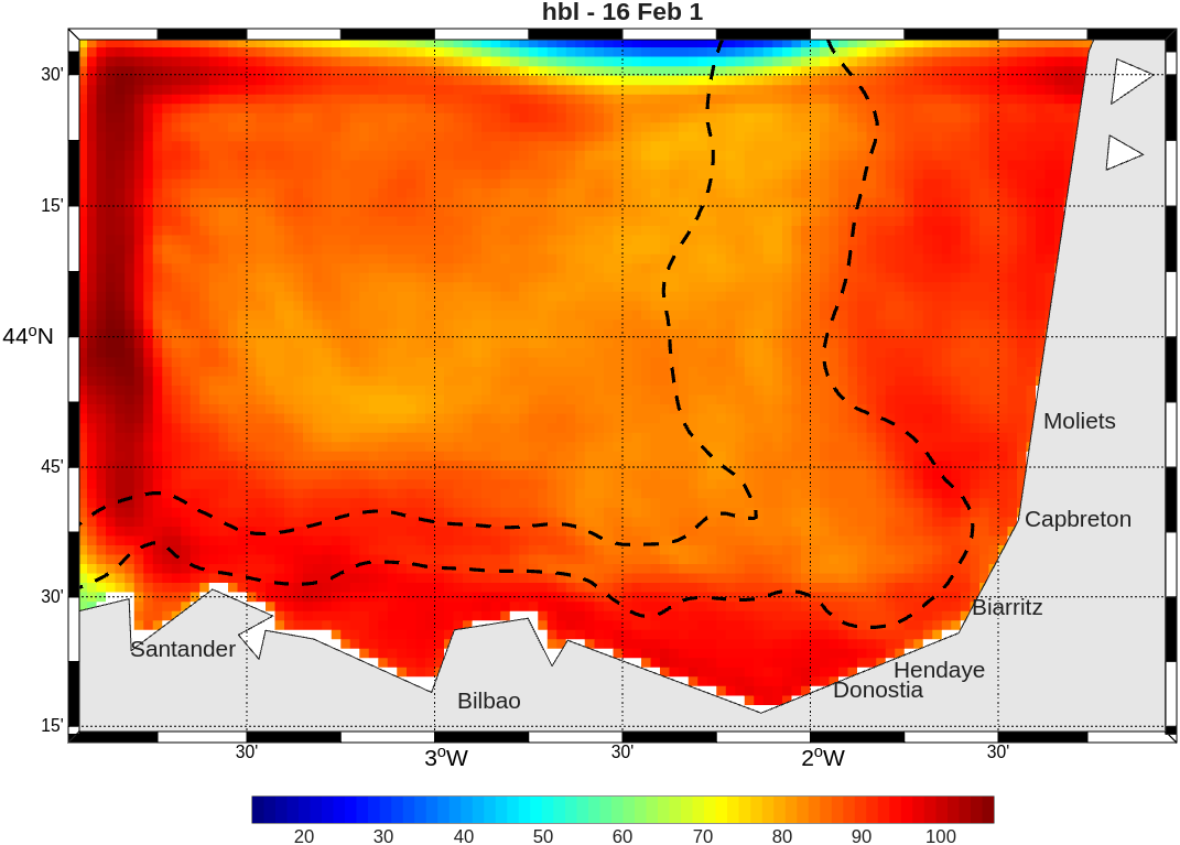
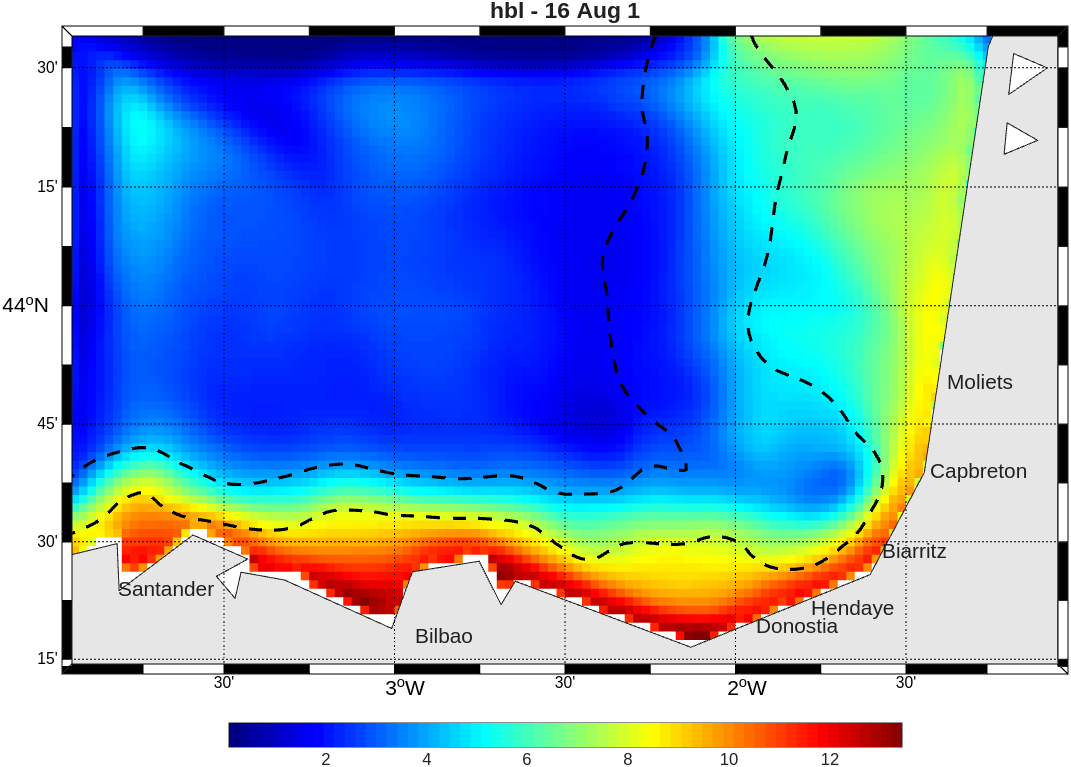
Analysis : MLD (Mixed Layer Depth)
Analysis : Okubo-Weiss parameter
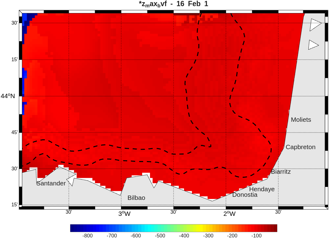
Analysis : Pycnocline depth
Last updated : 01/05/2026